BREAKING WEATHER: ⚡️ TRI-STATE BRACES FOR DAMAGING STORMS, FLOODING & POSSIBLE TORNADOES TUESDAY

BREAKING WEATHER: ⚡️ TRI-STATE BRACES FOR DAMAGING STORMS, FLOODING & POSSIBLE TORNADOES TUESDAY

⚡️ TUESDAY IS SHAPING UP TO BE VERY DYNAMIC… A HUGE temperature gradient will develop across the Tri-State Area Tuesday — and that boundary could become the focal point for intense thunderstorms. We could see a place like Howell, NJ approach 90° while parts of Long Island struggle through the mid-70s. That sharp separation between hot, unstable air and cooler air will help create a boundary for storms to develop and intensify. ⛈️ TUESDAY’S STORM THREATS: 💨 1. DAMAGING WINDS + ISOLATED TORNADO RISK Increasing wind shear will support a mix of supercells and organized lines of storms across PA, NJ and southern NY during the afternoon and evening. The primary threat will be scattered damaging wind gusts, along with isolated hail. There will also be enough low-level wind shear near the southern Hudson Valley, northeast PA and northern NJ to support a couple of tornadoes — especially with any stronger supercells or embedded circulations within storm lines. 🌧️ 2. TORRENTIAL RAIN + ROADWAY FLOODING There is a tremendous amount of moisture available. PWAT values exceeding 1.5" signal the potential for extremely heavy rainfall rates. Any storm could unload a tremendous amount of rain in a short period of time, creating localized flash flooding and significant roadway flooding. ➡️ WHAT ABOUT WEDNESDAY? Tuesday’s setup should actually help LIMIT Wednesday’s severe weather potential. A backdoor cold front will slice through the region, bringing cooler, more stable air into much of the area. BOTTOM LINE: Tuesday has the ingredients for a potentially active afternoon and evening with damaging winds, torrential rainfall and a localized tornado threat
AdminSeptember 1, 2026

Comments

No comments yet. Be the first!

Related Articles

WEATHER: SUKKOS WEEKEND WEATHER: Major Nor’easter Taking Shape Offshore
Weather Shorts

WEATHER: SUKKOS WEEKEND WEATHER: Major Nor’easter Taking Shape Offshore

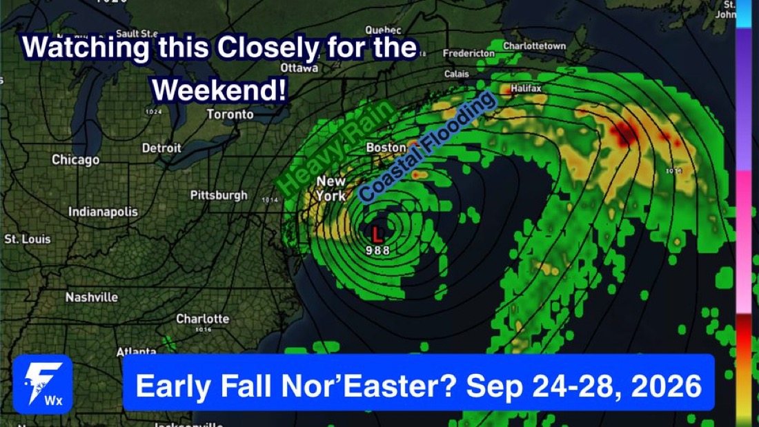
Windy next couple days chance of lots of rain this weekend!! The Euro and Euro AI remain the kings for forecasting in most setups. Both are and have been consistent in a high impact offshore Nor'easter this weekend. Prolonged impact and meander offshore. Wind gusts 50-70 MPH seem likely on coastal NJ, Long Island, eastern Mass. Could be locally higher. Prolonged window of onshore flow will accumulate and cause some solid coastal flooding esp. at high tide as well. Air travel delays possible because of storm/wind at NYC/CT/MA/PVD area airports this weekend. Still some wiggle room in the track. Other models have it a tad more offshore, some even loop the whole thing into southern New England as it occludes and weakens Sunday into next Monday. Specific wind peak, rain totals, surge numbers will be determined based on the final track. Will not know that for another 1-2 days or so.

Sep 23
BREAKING:*TORNADO WARNING AND SEVERE STORMS GRIP THE MIDWEST- CHICAGO
Weather Shorts

BREAKING:*TORNADO WARNING AND SEVERE STORMS GRIP THE MIDWEST- CHICAGO

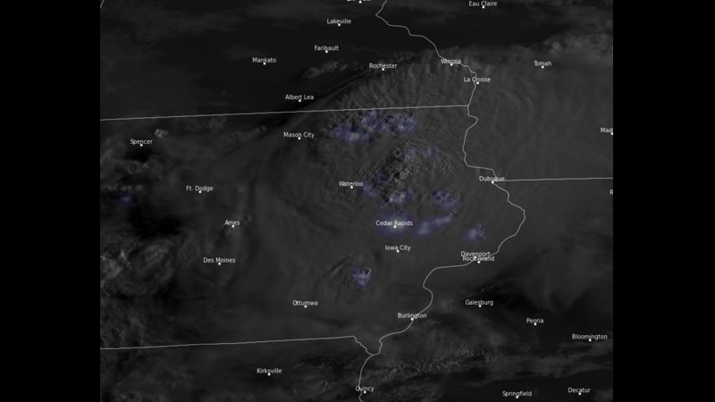
A dangerous line of storms is moving across the Midwest, bringing tornado warnings, embedded rotation, and damaging winds impacting the Chicago area. Severe thunderstorm warnings are in effect, with wind gusts reaching up to 100 MPH and stronger winds near 130 MPH detected just above the surface. The storm system, which formed over eastern Iowa earlier today, is rapidly pushing southeast toward Indiana and Ohio and may evolve into a derecho as it continues to intensify.

Aug 11