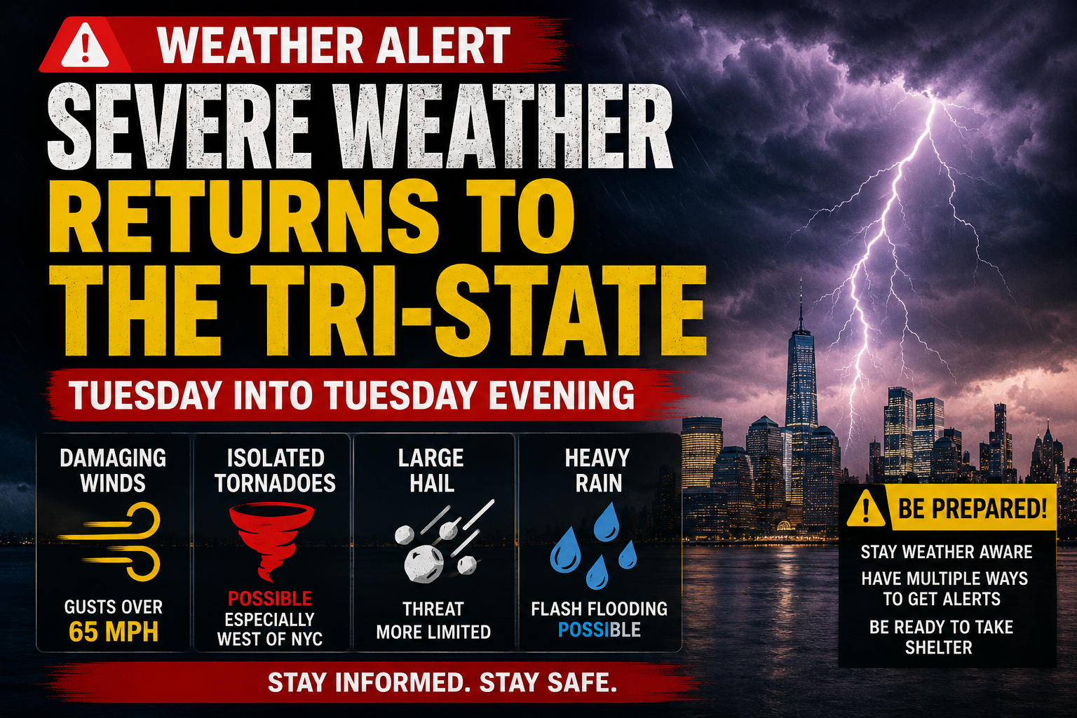
WEATHER TUESDAY 7/21: SEVERE STORMS TARGET TRI-STATE; DAMAGING WINDS, TORNADOES POSSIBLE
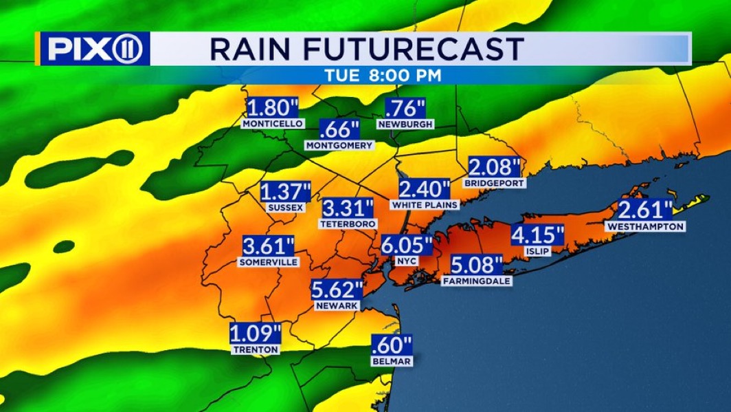
SEVERE WEATHER RETURNS TO THE TRI-STATE Here we go again! Another batch of strong and severe storms will target the region today An active weather pattern is setting up for Tuesday as a cold front approaches and a warm, humid air mass surges into the area. Dew points in the upper 60s to low 70s will fuel moderate to strong instability, while strong winds aloft will provide plenty of wind shear for organized severe thunderstorms. Main Takeaways:🌩️ A widespread severe weather threat is expected Tuesday into Tuesday evening. 💨 Damaging winds are the primary concern, with the potential for wind gusts over 65 mph. 🌪️ A few tornadoes are possible if discrete supercell thunderstorms develop (esp west of NYC) 🧊 Large hail is possible, but the threat appears more limited due to relatively warm air aloft. ⚡ Storms could evolve into a mix of supercells and bowing lines of thunderstorms, though the exact storm mode remains uncertain.